Neighbourhood Guide

Financial District
Walkability & Transit

Condos in and around Toronto's Financial District and South Core, connected to Union Station, the PATH and the waterfront.

97
Walk Score
100
Transit Score
83
Bike Score

Understanding Your Scores

Walk Score rates 10 York St, in the South Core, a Walker's Paradise with a perfect Transit Score.

97/100

Walk Score

Walker's Paradise

Daily errands do not require a car. Groceries, restaurants, the PATH and the waterfront are all a short walk away.

100/100

Transit Score

Rider's Paradise

World-class public transportation. Union Station brings together Line 1, GO Transit, the UP Express and the waterfront streetcars.

83/100

Bike Score

Very Bikeable

Flat streets, the waterfront trail and downtown bike lanes make cycling convenient for most trips.

Scores for 10 York St in Financial District from Walk Score®. Scores can change as Walk Score updates its data.

TTC Network

Transit Routes & Accessibility

The Financial District is built around Union Station, Toronto's biggest transit hub, with Line 1, GO trains, the UP Express and streetcars to the waterfront.

8 RoutesAll Types
Union Station anchors the loop of Line 1, with King and St. Andrew stations a short walk north.
Every GO Transit rail line runs into Union Station, with trains across the Greater Toronto and Hamilton Area.
The UP Express runs from Union Station to Pearson Airport in about 25 minutes.
Runs from Union Station along Queens Quay West and Fleet Street to Exhibition Place.
Runs in its own right-of-way between Spadina Station (Lines 1 and 2) and Union Station via Queens Quay. Overnight service runs as the 310 Spadina.
Frequent service on the King Street transit priority corridor, connecting to St. Andrew and King stations on Line 1. Branches run west to Dundas West Station and Dufferin Gate and east to the Distillery District and Broadview Station. Overnight service runs as the 304 King.
Runs north–south on Bay Street between the waterfront and Dupont Street, through the Financial District and past Queen's Park.
Runs on Yonge Street with local stops between the subway stations. Overnight service runs as the 320 Yonge.
Union StationLine 1, GO Transit, VIA Rail and the UP Express, connected to the PATH.
King & St. Andrew StationsLine 1 on King St, a short walk north through the PATH or on the street.
Ontario Line (under construction)Queen and Osgoode stations are planned north of the Financial District.

Route information from the TTC. Check ttc.ca for current schedules and service changes.

What's Nearby

Groceries, restaurants, arenas and the waterfront are all close to home in the Financial District.

Longo's Maple Leaf Square15 York St
5 min
St. Lawrence Market93 Front St E
12 min
Loblaws10 Lower Jarvis St
15 min
PATH food courtsUnderground across downtown
3 min
Front Street WestRestaurants near Union Station
4 min
Queens QuayWaterfront restaurants and patios
8 min
Harbour Square ParkQueens Quay W at Bay St
8 min
Berczy Park35 Wellington St E
10 min
HTO Park339 Queens Quay W
12 min
PATH and Union Station shopsUnderground network
3 min
Brookfield Place181 Bay St
5 min
CF Toronto Eaton Centre220 Yonge St (on Line 1)
20 min
Fitness clubsGyms connected to the PATH
5 min
Martin Goodman TrailRunning and cycling along the lake
8 min
St. Michael's Hospital30 Bond St (on Line 1)
20 min
Scotiabank Arena40 Bay St
4 min
Hockey Hall of Fame30 Yonge St
6 min
Meridian Hall1 Front St E
8 min

Approximate walking times from Front St W at Bay St.

Walking Time Radius

See what you can reach on foot from the heart of Financial District

Walking Distance Map

5 min Walk
  • Union Station
  • Scotiabank Arena
  • Longo's Maple Leaf Square
  • PATH network
  • Hockey Hall of Fame
  • 509 and 510 streetcars
10 min Walk
  • Harbourfront Centre
  • Jack Layton Ferry Terminal
  • Berczy Park
  • St. Lawrence Market
  • CN Tower
  • Meridian Hall
15–20 min Walk
  • Roy Thomson Hall
  • Sugar Beach
  • Rogers Centre
  • St. Lawrence Centre for the Arts
  • CF Toronto Eaton Centre
  • King Street East
Cycling

Bike Infrastructure

The Financial District is very bikeable, with the waterfront trail a short ride south and protected lanes across downtown.

83Bike Score® · Very Bikeable

Trail AccessNearby

The Martin Goodman Trail runs along Queens Quay, a short ride south.

Bike Share TorontoDocking stations

Bike Share Toronto stations around Union Station make one-way trips easy.

Flat Street GridEasy riding

Flat streets make quick trips to King West, St. Lawrence Market and the waterfront.

Protected Bike LanesDowntown

Separated lanes on Richmond, Adelaide and other downtown streets connect across the city.

83Bike Score
~5 minride to the waterfront trail
Flatstreet grid
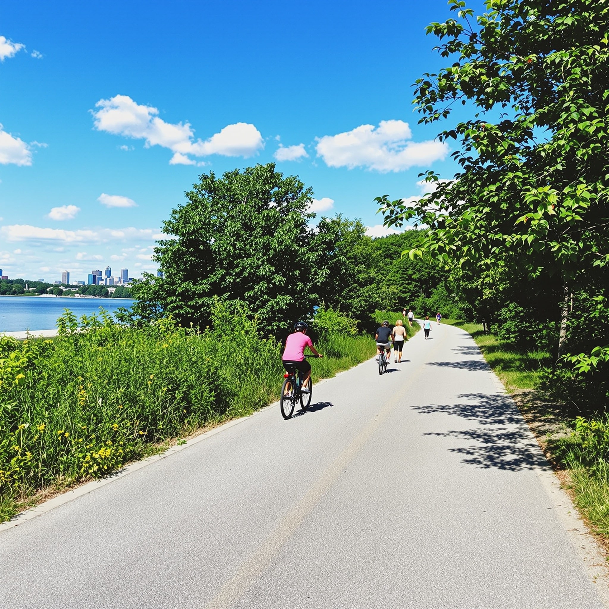
Financial District neighbourhood in Toronto
Quick Fact

From the Financial District, King West and St. Lawrence Market are each about a 5–10 minute ride.

Key Cycling Routes

Martin Goodman TrailWaterfrontRuns along Queens Quay, just south.
Richmond & AdelaideProtected lanesEast–west cycle tracks across downtown.
Front StreetLocal routeEast–west link past Union Station.
Lower Don TrailMulti-use trailReached along the waterfront to the east.

Bike Score® from walkscore.com. Ride and walk times are approximate.

Commute Times

Approximate travel times from Financial District to popular Toronto destinations

DestinationTransitDriveBikeWalkBest Route
King West≈ 10 min≈ 8 min≈ 7 min≈ 25 min504 King streetcar
St. Lawrence Market≈ 10 min≈ 6 min≈ 4 min≈ 12 minWalk, or 504 King
CF Toronto Eaton Centre≈ 8 min≈ 10 min≈ 6 min≈ 18 minLine 1 north
Distillery District≈ 15 min≈ 8 min≈ 8 min≈ 25 min504 King streetcar
Toronto Islands≈ 20 min——≈ 12 minFerry from Jack Layton Terminal
Yorkville≈ 15 min≈ 15 min≈ 15 min—Line 1 north
Kensington Market≈ 25 min≈ 12 min≈ 12 min—504 King to the 510
Liberty Village≈ 15 min≈ 12 min≈ 15 min—GO train to Exhibition
Midtown (Yonge & Eglinton)≈ 25 min≈ 20 min≈ 30 min—Line 1 north
North York Centre≈ 40 min≈ 30 min——Line 1 north
Pearson Airport≈ 30 min≈ 30 min——UP Express from Union

Off-peak estimates from Front St W at Bay St. Times vary with traffic and service; check ttc.ca for current schedules.

Car-Free Living in Financial District

  • Union Station connects Line 1, every GO line, VIA Rail and the UP Express
  • The PATH links offices, shops and stations underground
  • Streetcars run from Union Station along the waterfront
  • Groceries, arenas and restaurants are all a short walk away
  • The waterfront trail and downtown bike lanes are close by

Ready to Live in Financial District?

Browse Financial District condos for sale or talk to our team about buying in the neighbourhood.